Road entering Butterknowle from the east
Introduction
The photograph on this page of Road entering Butterknowle from the east by Trevor Littlewood as part of the Geograph project.
The Geograph project started in 2005 with the aim of publishing, organising and preserving representative images for every square kilometre of Great Britain, Ireland and the Isle of Man.

There are currently over 7.5m images from over 14,400 individuals and you can help contribute to the project by visiting https://www.geograph.org.uk
Road entering Butterknowle from the east
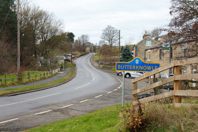
Image: © Trevor Littlewood Taken: 30 Nov 2013
Butterknowle is a small County Durham village, once a 'pit village', but coal mining ended there long ago. The blue and yellow road sign is in a style introduced in County Durham some years ago.
Images are licensed for reuse under creativecommons.org/licenses/by-sa/2.0
Image Location


Leaflet Map data © OpenStreetMap
Latitude
54.625241
Longitude
-1.830372