Southeast on the Stratford-upon-Avon Canal from Bridge 23
Introduction
The photograph on this page of Southeast on the Stratford-upon-Avon Canal from Bridge 23 by Robin Stott as part of the Geograph project.
The Geograph project started in 2005 with the aim of publishing, organising and preserving representative images for every square kilometre of Great Britain, Ireland and the Isle of Man.

There are currently over 7.5m images from over 14,400 individuals and you can help contribute to the project by visiting https://www.geograph.org.uk
Southeast on the Stratford-upon-Avon Canal from Bridge 23
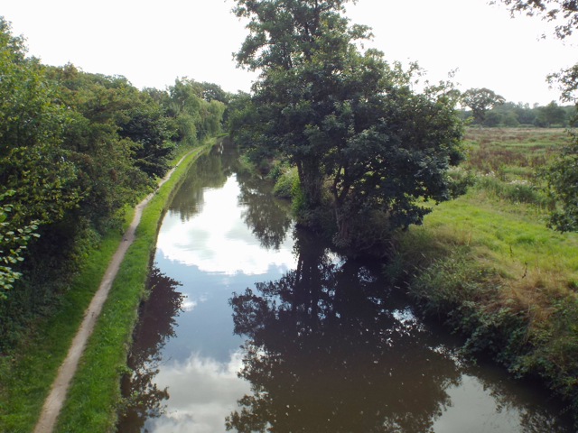
Image: © Robin Stott Taken: 31 Aug 2013
Compare the land on the right with http://www.geograph.org.uk/photo/86446 The neighbouring field is seen in http://www.geograph.org.uk/photo/3760745
Images are licensed for reuse under creativecommons.org/licenses/by-sa/2.0
Image Location
Latitude
52.355956
Longitude
-1.789991