Abandoned pasture by Ashford Lane
Introduction
The photograph on this page of Abandoned pasture by Ashford Lane by Robin Stott as part of the Geograph project.
The Geograph project started in 2005 with the aim of publishing, organising and preserving representative images for every square kilometre of Great Britain, Ireland and the Isle of Man.

There are currently over 7.5m images from over 14,400 individuals and you can help contribute to the project by visiting https://www.geograph.org.uk
Abandoned pasture by Ashford Lane
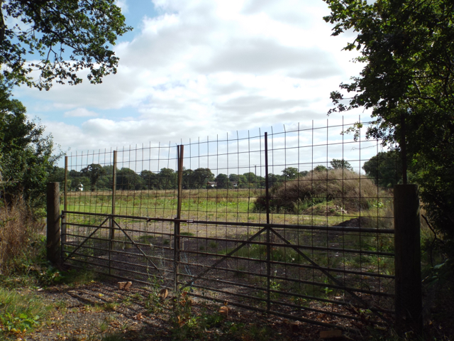
Image: © Robin Stott Taken: 31 Aug 2013
The condition of this field and its neighbour to the northeast, bordering the canal, can be seen in http://www.geograph.org.uk/p/3760869 Compare the appearance of managed pasture in 2005: http://www.geograph.org.uk/photo/86446
Images are licensed for reuse under creativecommons.org/licenses/by-sa/2.0
Image Location
Latitude
52.354611
Longitude
-1.791906