Lorton Vale Farmland
Introduction
The photograph on this page of Lorton Vale Farmland by Mihacel as part of the Geograph project.
The Geograph project started in 2005 with the aim of publishing, organising and preserving representative images for every square kilometre of Great Britain, Ireland and the Isle of Man.

There are currently over 7.5m images from over 14,400 individuals and you can help contribute to the project by visiting https://www.geograph.org.uk
Lorton Vale Farmland
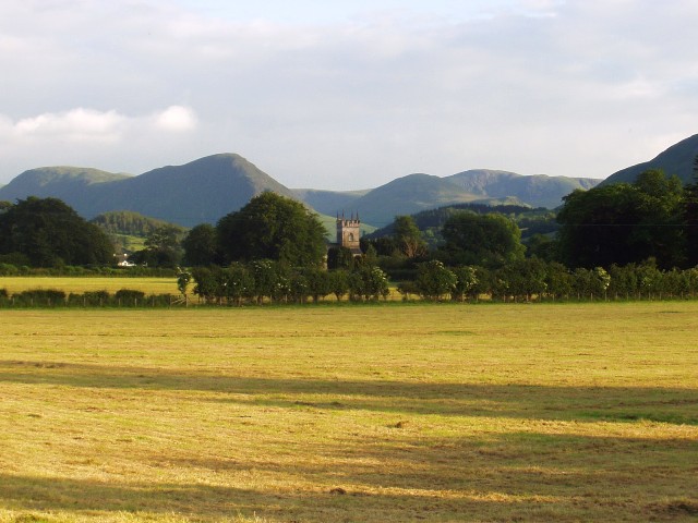
Image: © Mihacel Taken: 25 Jun 2005
St Cuthbert's Church can be seen in this photo, which is in the square kilometre grid immediately south.
Images are licensed for reuse under creativecommons.org/licenses/by-sa/2.0
Image Location
Latitude
54.623755
Longitude
-3.309794