Lyme Road
Introduction
The photograph on this page of Lyme Road by Derek Harper as part of the Geograph project.
The Geograph project started in 2005 with the aim of publishing, organising and preserving representative images for every square kilometre of Great Britain, Ireland and the Isle of Man.

There are currently over 7.5m images from over 14,400 individuals and you can help contribute to the project by visiting https://www.geograph.org.uk
Lyme Road
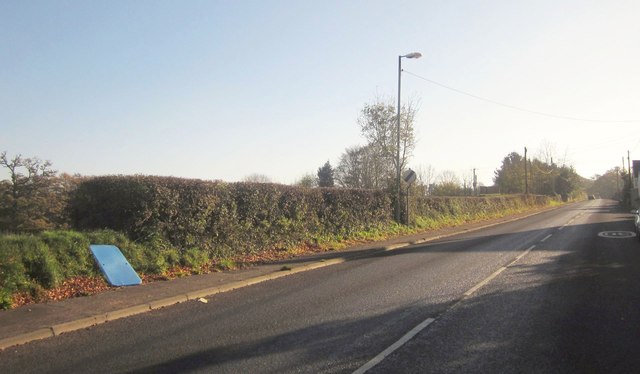
Image: © Derek Harper Taken: 23 Nov 2013
The B3261 emerging from the built-up area of Axminster and continuing to climb past the field on the left shown in Image No idea what that piece of blue plastic is.
Images are licensed for reuse under creativecommons.org/licenses/by-sa/2.0
Image Location
Latitude
50.776605
Longitude
-2.984951