High Street, Acton
Introduction
The photograph on this page of High Street, Acton by Martin Addison as part of the Geograph project.
The Geograph project started in 2005 with the aim of publishing, organising and preserving representative images for every square kilometre of Great Britain, Ireland and the Isle of Man.

There are currently over 7.5m images from over 14,400 individuals and you can help contribute to the project by visiting https://www.geograph.org.uk
High Street, Acton
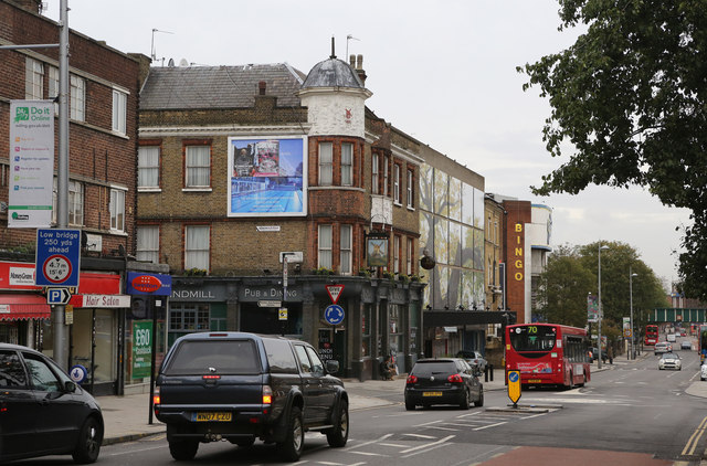
Image: © Martin Addison Taken: 31 Oct 2013
Seen at the junction with Grove Road. The Windmill public house stands on the corner. The bridge in the distance carries the North London Line over the road.
Images are licensed for reuse under creativecommons.org/licenses/by-sa/2.0
Image Location
Latitude
51.506653
Longitude
-0.266435