Kings Head, Upton St Leonards
Introduction
The photograph on this page of Kings Head, Upton St Leonards by Jaggery as part of the Geograph project.
The Geograph project started in 2005 with the aim of publishing, organising and preserving representative images for every square kilometre of Great Britain, Ireland and the Isle of Man.

There are currently over 7.5m images from over 14,400 individuals and you can help contribute to the project by visiting https://www.geograph.org.uk
Kings Head, Upton St Leonards
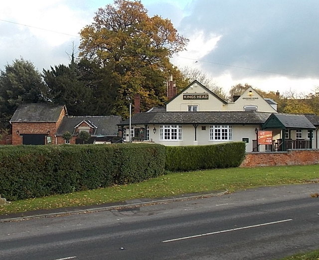
Image: © Jaggery Taken: 22 Nov 2013
A Greene King pub at the edge of the village, on the corner of Rance Lane and the B4073 Upton Hill.
Images are licensed for reuse under creativecommons.org/licenses/by-sa/2.0
Image Location
Latitude
51.830015
Longitude
-2.205287