Howsmoor Lane
Introduction
The photograph on this page of Howsmoor Lane by Derek Harper as part of the Geograph project.
The Geograph project started in 2005 with the aim of publishing, organising and preserving representative images for every square kilometre of Great Britain, Ireland and the Isle of Man.

There are currently over 7.5m images from over 14,400 individuals and you can help contribute to the project by visiting https://www.geograph.org.uk
Howsmoor Lane
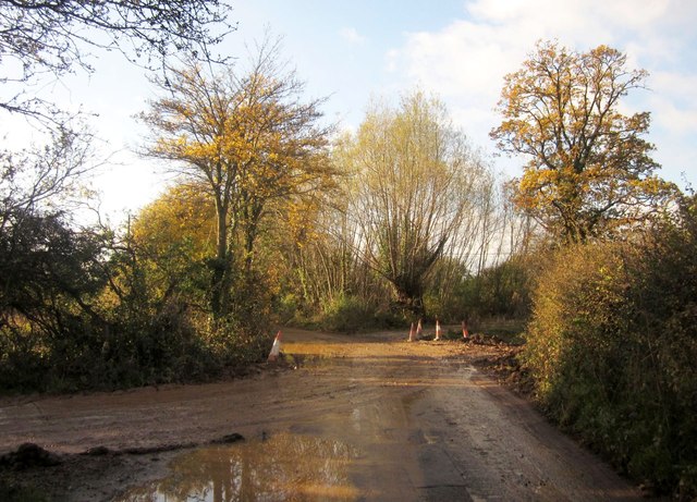
Image: © Derek Harper Taken: 22 Nov 2013
The lane approaches the site of Howsmoor Farm and the Bristol & Bath Science Park. On the left is the muddy entrance to a development site, parcel 8 of Emersons Green East.
Images are licensed for reuse under creativecommons.org/licenses/by-sa/2.0
Image Location
Latitude
51.499618
Longitude
-2.474055