Upton St Leonards and Stroud District boundary sign
Introduction
The photograph on this page of Upton St Leonards and Stroud District boundary sign by Jaggery as part of the Geograph project.
The Geograph project started in 2005 with the aim of publishing, organising and preserving representative images for every square kilometre of Great Britain, Ireland and the Isle of Man.

There are currently over 7.5m images from over 14,400 individuals and you can help contribute to the project by visiting https://www.geograph.org.uk
Upton St Leonards and Stroud District boundary sign
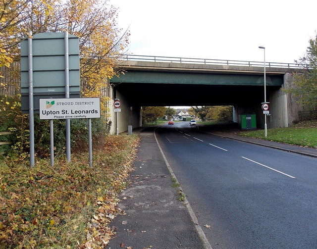
Image: © Jaggery Taken: 22 Nov 2013
Viewed along the B4073 looking towards the bridge carrying the M5 motorway. The City of Gloucester is on this side. The sign marks both a village boundary and district boundary.
Images are licensed for reuse under creativecommons.org/licenses/by-sa/2.0
Image Location
Latitude
51.831181
Longitude
-2.206888