Kimmins Mill, Dudbridge
Introduction
The photograph on this page of Kimmins Mill, Dudbridge by Chris Allen as part of the Geograph project.
The Geograph project started in 2005 with the aim of publishing, organising and preserving representative images for every square kilometre of Great Britain, Ireland and the Isle of Man.

There are currently over 7.5m images from over 14,400 individuals and you can help contribute to the project by visiting https://www.geograph.org.uk
Kimmins Mill, Dudbridge
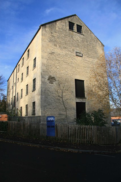
Image: © Chris Allen Taken: 23 Nov 2013
A five storey stone flour mill with a date stone of 1849. It had a water wheel at the opposite end and at one time had steam power but the chimney has now gone. It was once connected by viaduct and narrow gauge railway to the Stonehouse & Nailsworth railway but the connection has gone. It is now in a Sainsbury's car park.
Images are licensed for reuse under creativecommons.org/licenses/by-sa/2.0
Image Location


Leaflet Map data © OpenStreetMap
Latitude
51.738868
Longitude
-2.241078