A406 - North Circular Road
Introduction
The photograph on this page of A406 - North Circular Road by Martin Addison as part of the Geograph project.
The Geograph project started in 2005 with the aim of publishing, organising and preserving representative images for every square kilometre of Great Britain, Ireland and the Isle of Man.

There are currently over 7.5m images from over 14,400 individuals and you can help contribute to the project by visiting https://www.geograph.org.uk
A406 - North Circular Road
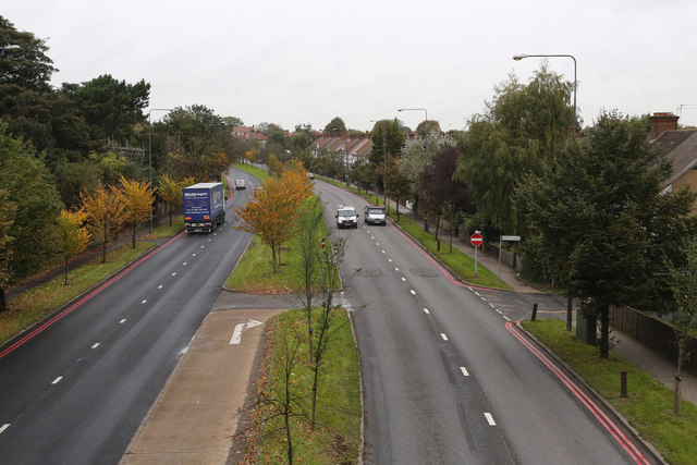
Image: © Martin Addison Taken: 31 Oct 2013
Looking northbound from the footbridge beside Princes Avenue. On the left is Gunnersbury Park. The road on the right is Park Place Drive which is actually an access road running between the houses on the North Circular Road and those on Park Drive. The A406 traffic is surprisingly light for a Friday lunchtime.
Images are licensed for reuse under creativecommons.org/licenses/by-sa/2.0
Image Location
Latitude
51.49844
Longitude
-0.282739