Crossroads in Midford
Introduction
The photograph on this page of Crossroads in Midford by HelenK as part of the Geograph project.
The Geograph project started in 2005 with the aim of publishing, organising and preserving representative images for every square kilometre of Great Britain, Ireland and the Isle of Man.

There are currently over 7.5m images from over 14,400 individuals and you can help contribute to the project by visiting https://www.geograph.org.uk
Crossroads in Midford
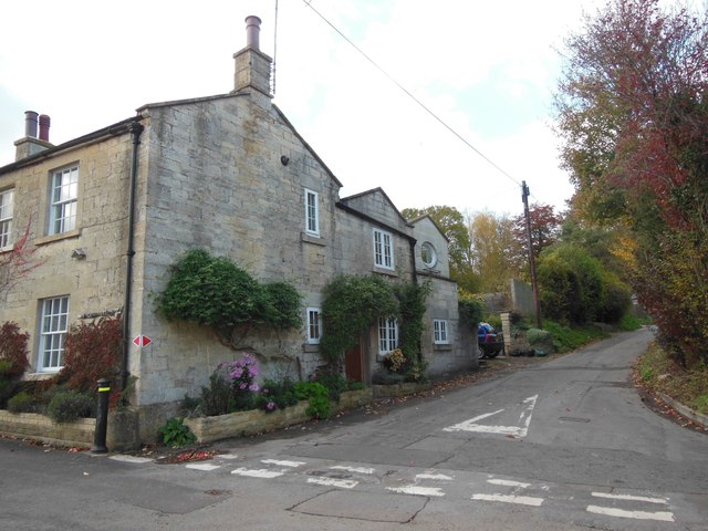
Image: © HelenK Taken: 14 Nov 2013
This is the central point of the village. The house on the corner has had an upper room built as an extension, with an oval window.
Images are licensed for reuse under creativecommons.org/licenses/by-sa/2.0
Image Location
Latitude
51.346037
Longitude
-2.346836