Atkins Road at the junction of New Park Road
Introduction
The photograph on this page of Atkins Road at the junction of New Park Road by David Howard as part of the Geograph project.
The Geograph project started in 2005 with the aim of publishing, organising and preserving representative images for every square kilometre of Great Britain, Ireland and the Isle of Man.

There are currently over 7.5m images from over 14,400 individuals and you can help contribute to the project by visiting https://www.geograph.org.uk
Atkins Road at the junction of New Park Road
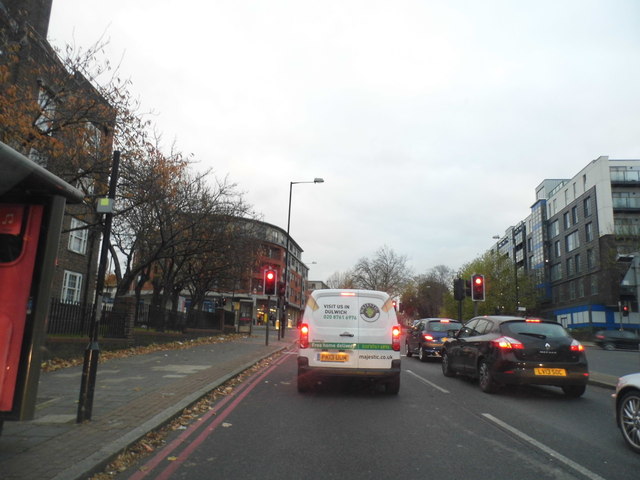
Image: © David Howard Taken: 24 Nov 2013
Unlike the North Circular there has been so much opposition locally there is no dual carriageway of any note on the south, it just winds in and out of narrow A roads wherever they happen to be to link the North Circular at Kew and Woolwich Ferry.
Images are licensed for reuse under creativecommons.org/licenses/by-sa/2.0
Image Location
Latitude
51.44699
Longitude
-0.129103