High Royds Menston from Parkinson's Park Guiseley
Introduction
The photograph on this page of High Royds Menston from Parkinson's Park Guiseley by Jennifer Kirkby as part of the Geograph project.
The Geograph project started in 2005 with the aim of publishing, organising and preserving representative images for every square kilometre of Great Britain, Ireland and the Isle of Man.

There are currently over 7.5m images from over 14,400 individuals and you can help contribute to the project by visiting https://www.geograph.org.uk
High Royds Menston from Parkinson's Park Guiseley
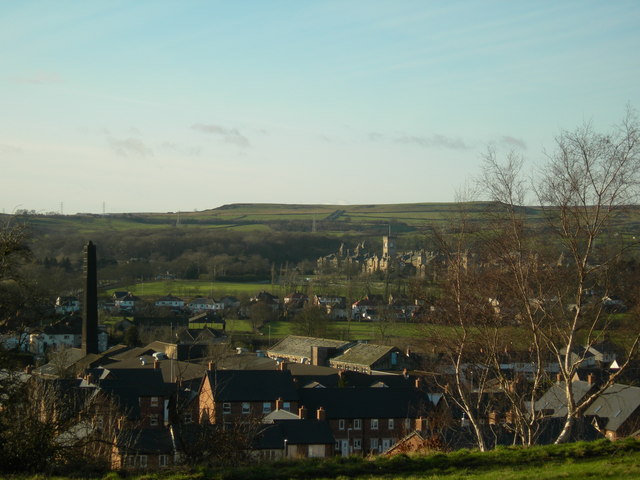
Image: © Jennifer Kirkby Taken: 12 Jan 2012
Parkinson's Park sits on the edge of the Airedale Gap formed by ice age glaciers. This view looks from the Park, towards High Royds Hospital, Menston, and beyond that, Rombalds Moor. In the foreground the new Edison Fields Estate, built on the site of Crompton Parkinsons factory: another new housing estate has now been built at High Royds.
Images are licensed for reuse under creativecommons.org/licenses/by-sa/2.0
Image Location


Leaflet Map data © OpenStreetMap
Latitude
53.880156
Longitude
-1.714747