The Ridgeway, Friston
Introduction
The photograph on this page of The Ridgeway, Friston by Simon Carey as part of the Geograph project.
The Geograph project started in 2005 with the aim of publishing, organising and preserving representative images for every square kilometre of Great Britain, Ireland and the Isle of Man.

There are currently over 7.5m images from over 14,400 individuals and you can help contribute to the project by visiting https://www.geograph.org.uk
The Ridgeway, Friston
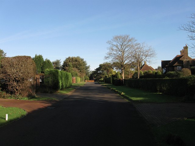
Image: © Simon Carey Taken: 16 Nov 2013
Part of a private estate that was developed from the late 1920s onwards though was not completed until after the Second World War. The residential road runs from Windmill Lane in the south and joins with Warren Lane at the junction with The Brow. All of the area in view was once part of a field called Little Pasture according to Friston's 1848 tithe map.
Images are licensed for reuse under creativecommons.org/licenses/by-sa/2.0
Image Location
Latitude
50.766039
Longitude
0.205085