St Catherine's Church, West Bradford
Introduction
The photograph on this page of St Catherine's Church, West Bradford by Rude Health as part of the Geograph project.
The Geograph project started in 2005 with the aim of publishing, organising and preserving representative images for every square kilometre of Great Britain, Ireland and the Isle of Man.

There are currently over 7.5m images from over 14,400 individuals and you can help contribute to the project by visiting https://www.geograph.org.uk
St Catherine's Church, West Bradford
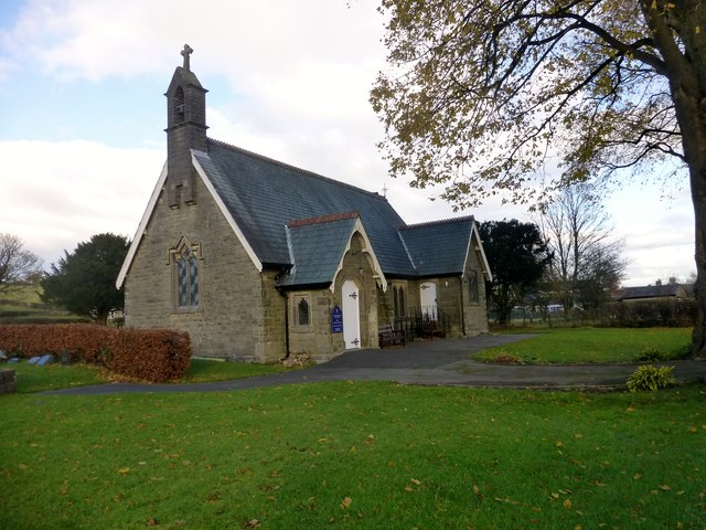
Image: © Rude Health Taken: 22 Nov 2013
St Catherine's is a beautiful small church built around 1900 in the village of West Bradford. It has been altered very little since it was first opened.
Images are licensed for reuse under creativecommons.org/licenses/by-sa/2.0
Image Location


Leaflet Map data © OpenStreetMap
Latitude
53.896302
Longitude
-2.391964