Belle Vue Park Bowling Green, Penarth
Introduction
The photograph on this page of Belle Vue Park Bowling Green, Penarth by Jaggery as part of the Geograph project.
The Geograph project started in 2005 with the aim of publishing, organising and preserving representative images for every square kilometre of Great Britain, Ireland and the Isle of Man.

There are currently over 7.5m images from over 14,400 individuals and you can help contribute to the project by visiting https://www.geograph.org.uk
Belle Vue Park Bowling Green, Penarth
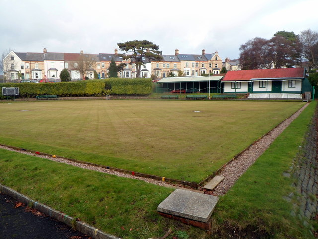
Image: © Jaggery Taken: 9 Dec 2012
The bowling green was created in 1915 on the site of a disused quarry (shown on 1870s Ordnance Survey maps). It is inside Belle Vue Park, which was officially opened on May 22nd 1915.
Images are licensed for reuse under creativecommons.org/licenses/by-sa/2.0
Image Location
Latitude
51.441046
Longitude
-3.17112