Grazing fields east of Vron Farm
Introduction
The photograph on this page of Grazing fields east of Vron Farm by Maggie Cox as part of the Geograph project.
The Geograph project started in 2005 with the aim of publishing, organising and preserving representative images for every square kilometre of Great Britain, Ireland and the Isle of Man.

There are currently over 7.5m images from over 14,400 individuals and you can help contribute to the project by visiting https://www.geograph.org.uk
Grazing fields east of Vron Farm
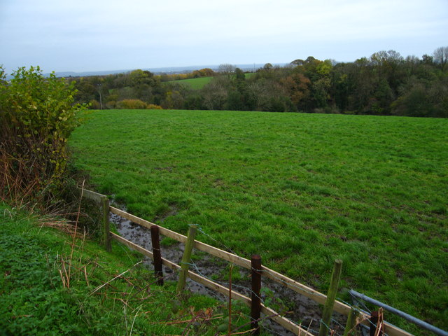
Image: © Maggie Cox Taken: 15 Nov 2013
The Afon Gwenfro runs through the strip of woodland. In the distance are views across the Cheshire Plain
Images are licensed for reuse under creativecommons.org/licenses/by-sa/2.0
Image Location
Latitude
53.059763
Longitude
-3.053995