Milton Malsor: Barn Lane
Introduction
The photograph on this page of Milton Malsor: Barn Lane by Nigel Cox as part of the Geograph project.
The Geograph project started in 2005 with the aim of publishing, organising and preserving representative images for every square kilometre of Great Britain, Ireland and the Isle of Man.

There are currently over 7.5m images from over 14,400 individuals and you can help contribute to the project by visiting https://www.geograph.org.uk
Milton Malsor: Barn Lane
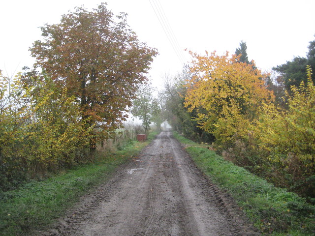
Image: © Nigel Cox Taken: 17 Nov 2013
This image was taken approaching the end of the metalled, but very muddy, road, at the nursery. It is shown on the Ordnance Survey mapping as a series of solid green circles indicating "Other route with public access".
Images are licensed for reuse under creativecommons.org/licenses/by-sa/2.0
Image Location
Latitude
52.184255
Longitude
-0.920231