Boiling Wells Farm
Introduction
The photograph on this page of Boiling Wells Farm by Donnylad as part of the Geograph project.
The Geograph project started in 2005 with the aim of publishing, organising and preserving representative images for every square kilometre of Great Britain, Ireland and the Isle of Man.

There are currently over 7.5m images from over 14,400 individuals and you can help contribute to the project by visiting https://www.geograph.org.uk
Boiling Wells Farm
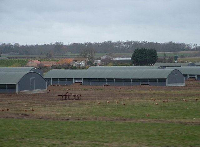
Image: © Donnylad Taken: 23 Mar 2007
Modern free range poultry housing surrounds Boiling Wells Farm near to A15 Sleaford Western Bypass.
Images are licensed for reuse under creativecommons.org/licenses/by-sa/2.0
Image Location
Latitude
52.994956
Longitude
-0.446126