Newtack
Introduction
The photograph on this page of Newtack by Anne Burgess as part of the Geograph project.
The Geograph project started in 2005 with the aim of publishing, organising and preserving representative images for every square kilometre of Great Britain, Ireland and the Isle of Man.

There are currently over 7.5m images from over 14,400 individuals and you can help contribute to the project by visiting https://www.geograph.org.uk
Newtack
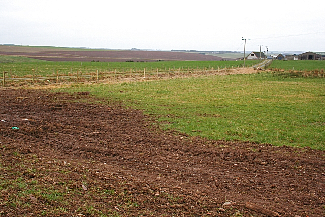
Image: © Anne Burgess Taken: 23 Mar 2007
I was asked by someone in Canada whose ancestors came from here if I could get a photo of Newtack. In fact, this is where Newtack was. It was obliterated about 40 years ago by the farmer who owned the land. The farm at left is Smithyton, the owner of which has recently acquired the field which once was Newtack.
Images are licensed for reuse under creativecommons.org/licenses/by-sa/2.0
Image Location


Leaflet Map data © OpenStreetMap
Latitude
57.642809
Longitude
-2.365994