Knowle Lane, Swingate
Introduction
The photograph on this page of Knowle Lane, Swingate by Richard Vince as part of the Geograph project.
The Geograph project started in 2005 with the aim of publishing, organising and preserving representative images for every square kilometre of Great Britain, Ireland and the Isle of Man.

There are currently over 7.5m images from over 14,400 individuals and you can help contribute to the project by visiting https://www.geograph.org.uk
Knowle Lane, Swingate
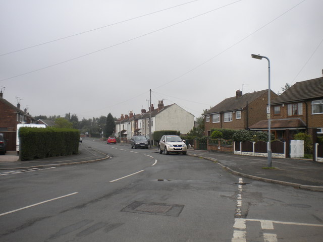
Image: © Richard Vince Taken: 25 Sep 2013
Looking north from its junction with Park Avenue, showing two contrasting styles (and ages) of housing. Knowle Lane was severed as a through road to Nottingham Road by the Kimberley and Eastwood bypass (part of the A610), but a pedestrian bridge still links the two sections of the road.
Images are licensed for reuse under creativecommons.org/licenses/by-sa/2.0
Image Location
Latitude
52.991614
Longitude
-1.252992