Tameside Court, Hattersley
Introduction
The photograph on this page of Tameside Court, Hattersley by John Topping as part of the Geograph project.
The Geograph project started in 2005 with the aim of publishing, organising and preserving representative images for every square kilometre of Great Britain, Ireland and the Isle of Man.

There are currently over 7.5m images from over 14,400 individuals and you can help contribute to the project by visiting https://www.geograph.org.uk
Tameside Court, Hattersley
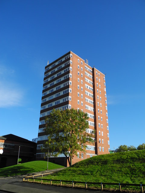
Image: © John Topping Taken: 24 Oct 2013
Tameside Court tower block due to be demolished in the next twelve month's, according to a local resident.
Images are licensed for reuse under creativecommons.org/licenses/by-sa/2.0
Image Location
Latitude
53.44879
Longitude
-2.027666