Victoria Terrace, Throckley
Introduction
The photograph on this page of Victoria Terrace, Throckley by Andrew Curtis as part of the Geograph project.
The Geograph project started in 2005 with the aim of publishing, organising and preserving representative images for every square kilometre of Great Britain, Ireland and the Isle of Man.

There are currently over 7.5m images from over 14,400 individuals and you can help contribute to the project by visiting https://www.geograph.org.uk
Victoria Terrace, Throckley
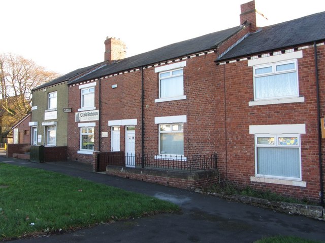
Image: © Andrew Curtis Taken: 14 Nov 2013
Victoria Terrace is situated along Hexham Road just off the roundabout at the top of Newburn Road. St Mary's Church is visible on the left.
Images are licensed for reuse under creativecommons.org/licenses/by-sa/2.0
Image Location
Latitude
54.995713
Longitude
-1.75457