St Basil's Rise, Bassaleg, Newport
Introduction
The photograph on this page of St Basil's Rise, Bassaleg, Newport by Jaggery as part of the Geograph project.
The Geograph project started in 2005 with the aim of publishing, organising and preserving representative images for every square kilometre of Great Britain, Ireland and the Isle of Man.

There are currently over 7.5m images from over 14,400 individuals and you can help contribute to the project by visiting https://www.geograph.org.uk
St Basil's Rise, Bassaleg, Newport
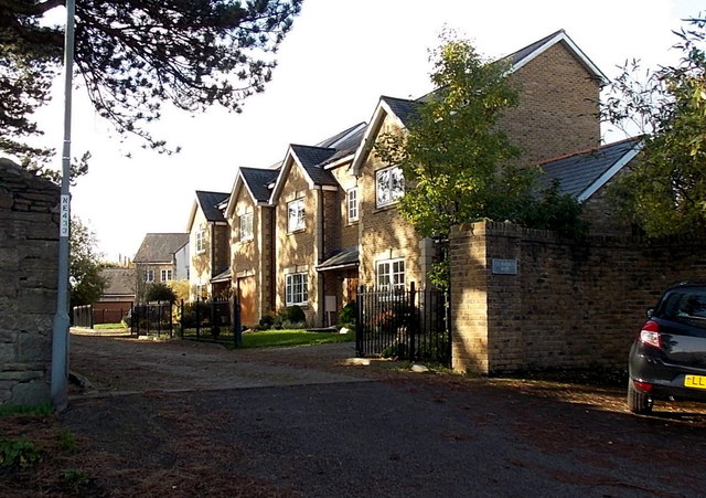
Image: © Jaggery Taken: 14 Nov 2013
Viewed from Station Approach opposite Junction 28 restaurant. St Basil's Rise is a cul-de-sac adjacent to the NW side of St Basil's Church.
Images are licensed for reuse under creativecommons.org/licenses/by-sa/2.0
Image Location
Latitude
51.578374
Longitude
-3.045052