Trinity Street
Introduction
The photograph on this page of Trinity Street by Humphrey Bolton as part of the Geograph project.
The Geograph project started in 2005 with the aim of publishing, organising and preserving representative images for every square kilometre of Great Britain, Ireland and the Isle of Man.

There are currently over 7.5m images from over 14,400 individuals and you can help contribute to the project by visiting https://www.geograph.org.uk
Trinity Street
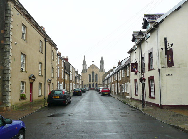
Image: © Humphrey Bolton Taken: 19 Sep 2013
The Holy Trinity Church keeps a watchful eye on Trinity Street. The church was built in 1857, Architect: E E Goodridge, and is Grade II* listed. The street, however, is the main street of the late 17C Trinity suburb. Either the suburb was renamed in the 19C or there was an earlier church here.
Images are licensed for reuse under creativecommons.org/licenses/by-sa/2.0
Image Location
Latitude
51.233157
Longitude
-2.327224