Haigh's Street, Trinity
Introduction
The photograph on this page of Haigh's Street, Trinity by Humphrey Bolton as part of the Geograph project.
The Geograph project started in 2005 with the aim of publishing, organising and preserving representative images for every square kilometre of Great Britain, Ireland and the Isle of Man.

There are currently over 7.5m images from over 14,400 individuals and you can help contribute to the project by visiting https://www.geograph.org.uk
Haigh's Street, Trinity
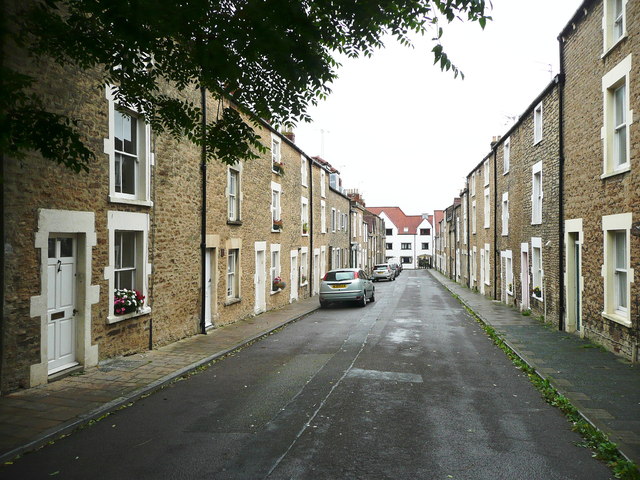
Image: © Humphrey Bolton Taken: 19 Sep 2013
This suburb is remarkable in having been developed in the late 17C. Several of these houses are listed, Grade II, and were built at the end of the 17C or the beginning of the 18C.
Images are licensed for reuse under creativecommons.org/licenses/by-sa/2.0
Image Location
Latitude
51.232524
Longitude
-2.328222