Paxton Street, Belfast (2)
Introduction
The photograph on this page of Paxton Street, Belfast (2) by Albert Bridge as part of the Geograph project.
The Geograph project started in 2005 with the aim of publishing, organising and preserving representative images for every square kilometre of Great Britain, Ireland and the Isle of Man.

There are currently over 7.5m images from over 14,400 individuals and you can help contribute to the project by visiting https://www.geograph.org.uk
Paxton Street, Belfast (2)
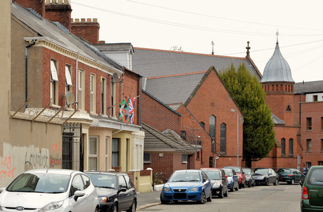
Image: © Albert Bridge Taken: 13 Nov 2013
See Image That part of Paxton Street between Castlereagh Street (behind me) and Templemore Avenue. The distinctive cupolas of Mountpottinger Baptist church http://www.geograph.org.uk/snippet/7882 are at upper right.
Images are licensed for reuse under creativecommons.org/licenses/by-sa/2.0
Image Location
Latitude
54.593961
Longitude
-5.901927