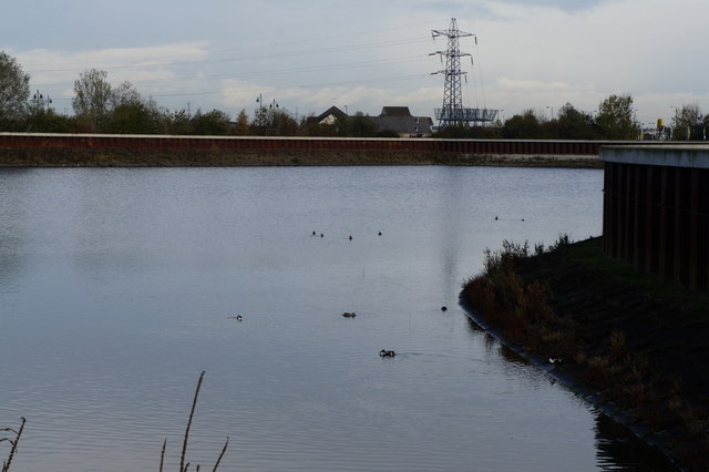
The Kingswood flood defences, Hull
Introduction
The photograph on this page of The Kingswood flood defences, Hull by Ian S as part of the Geograph project.
The Geograph project started in 2005 with the aim of publishing, organising and preserving representative images for every square kilometre of Great Britain, Ireland and the Isle of Man.
There are currently over 7.5m images from over 14,400 individuals and you can help contribute to the project by visiting https://www.geograph.org.uk

Image: © Ian S Taken: 9 Nov 2013
In 2007 Hull was flooded, not by the two rivers that the City sits on, but by rain. Over 10,000 properties were damaged. My own house came within 50mm of being flooded that day. http://www.coulthard.org.uk/hullfloods.html

