Field and wood near Ashbury
Introduction
The photograph on this page of Field and wood near Ashbury by Derek Harper as part of the Geograph project.
The Geograph project started in 2005 with the aim of publishing, organising and preserving representative images for every square kilometre of Great Britain, Ireland and the Isle of Man.

There are currently over 7.5m images from over 14,400 individuals and you can help contribute to the project by visiting https://www.geograph.org.uk
Field and wood near Ashbury
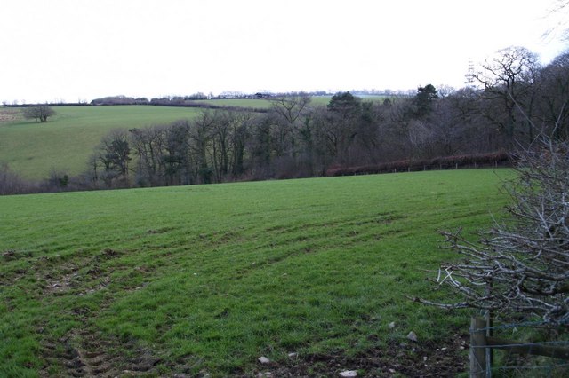
Image: © Derek Harper Taken: 21 Mar 2007
Looking south from the lane between Northlew and Castle Cross, not far from the former Ashbury Station. The valley is of one of the headwaters of the River Lew.
Images are licensed for reuse under creativecommons.org/licenses/by-sa/2.0
Image Location
Latitude
50.746875
Longitude
-4.147093