'Brookdale', Hale Road
Introduction
The photograph on this page of 'Brookdale', Hale Road by Anthony O'Neil as part of the Geograph project.
The Geograph project started in 2005 with the aim of publishing, organising and preserving representative images for every square kilometre of Great Britain, Ireland and the Isle of Man.

There are currently over 7.5m images from over 14,400 individuals and you can help contribute to the project by visiting https://www.geograph.org.uk
'Brookdale', Hale Road
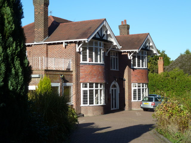
Image: © Anthony O'Neil Taken: 10 Nov 2013
Possibly the first domestic property to be erected on Brooks' Drive after 1936 when local planning regulations changed. It replaced an 18th century farmhouse which was pulled down to clear the site - Easter Farm. It has gated entrances on both roads.
Images are licensed for reuse under creativecommons.org/licenses/by-sa/2.0
Image Location
Latitude
53.36625
Longitude
-2.304275