Kentish Buildings
Introduction
The photograph on this page of Kentish Buildings by Stephen Craven as part of the Geograph project.
The Geograph project started in 2005 with the aim of publishing, organising and preserving representative images for every square kilometre of Great Britain, Ireland and the Isle of Man.

There are currently over 7.5m images from over 14,400 individuals and you can help contribute to the project by visiting https://www.geograph.org.uk
Kentish Buildings
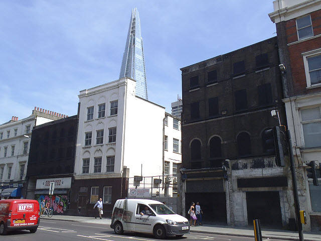
Image: © Stephen Craven Taken: 22 Jul 2013
A large-scale street map gives this name to these buildings on Borough High Street, which a few months earlier were being surveyed on behalf of Guy’s Hospital that owns the land, with a view to demolition and redevelopment. The shop units on the ground floor were already vacant; one had most recently been a shoe shop.
Images are licensed for reuse under creativecommons.org/licenses/by-sa/2.0
Image Location
Latitude
51.503487
Longitude
-0.091488