Simla House
Introduction
The photograph on this page of Simla House by Stephen Craven as part of the Geograph project.
The Geograph project started in 2005 with the aim of publishing, organising and preserving representative images for every square kilometre of Great Britain, Ireland and the Isle of Man.

There are currently over 7.5m images from over 14,400 individuals and you can help contribute to the project by visiting https://www.geograph.org.uk
Simla House
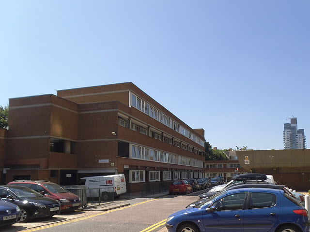
Image: © Stephen Craven Taken: 19 Jul 2013
A low-rise block of flats on Dunsterville Way, Bermondsey. The tower in the background is at Empire Square and represents a later generation of residential building.
Images are licensed for reuse under creativecommons.org/licenses/by-sa/2.0
Image Location
Latitude
51.50007
Longitude
-0.086011