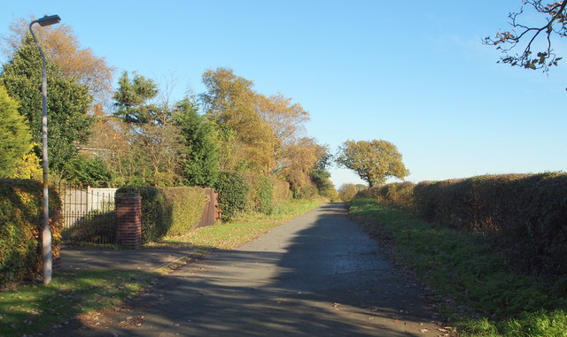
Old Newark Road, Mansfield, Notts.
Introduction
The photograph on this page of Old Newark Road, Mansfield, Notts. by David Hallam-Jones as part of the Geograph project.
The Geograph project started in 2005 with the aim of publishing, organising and preserving representative images for every square kilometre of Great Britain, Ireland and the Isle of Man.
There are currently over 7.5m images from over 14,400 individuals and you can help contribute to the project by visiting https://www.geograph.org.uk

Image: © David Hallam-Jones Taken: 10 Nov 2013
This gateway marks the last house at the side of this maintained section of the Old Newark Road, because within the next 100 yds it becomes an earth track. A quarter of a mile behind the photographer, Old Newark Road joins Lichfield Lane and then soon afterwards the latter joins the A60 (Mansfield-Nottingham) Road near to the West Notts College site. Four or so miles ahead, at the other end of this route - some sections of which are maintained, whilst others have been left as rough tracks - Old Newark Road joins the A6191 dual carriageway (a.k.a. Southwell Road West) near to the Three Thorn Hollow roundabout. Arable farmland belonging to Fir's Farm exists behind the hedgerow on the right.

