Former Old Newark Road, Mansfield, Notts.
Introduction
The photograph on this page of Former Old Newark Road, Mansfield, Notts. by David Hallam-Jones as part of the Geograph project.
The Geograph project started in 2005 with the aim of publishing, organising and preserving representative images for every square kilometre of Great Britain, Ireland and the Isle of Man.

There are currently over 7.5m images from over 14,400 individuals and you can help contribute to the project by visiting https://www.geograph.org.uk
Former Old Newark Road, Mansfield, Notts.
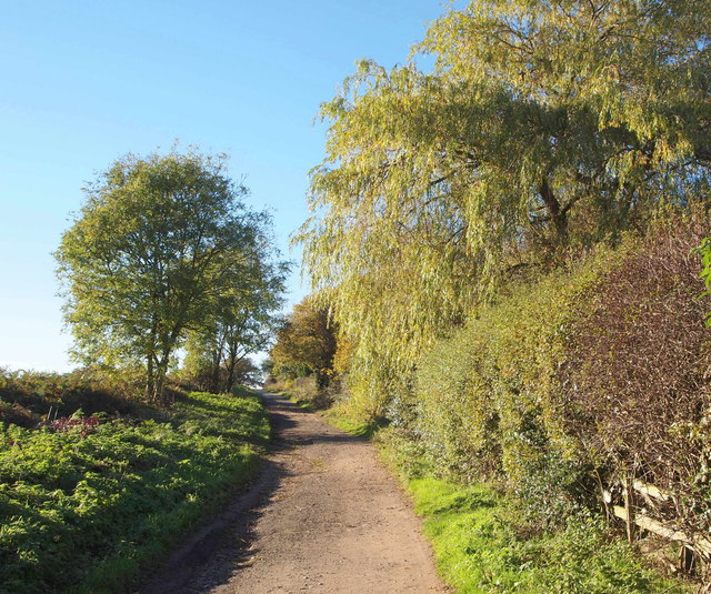
Image: © David Hallam-Jones Taken: 10 Nov 2013
The elevation of the land increases soon after the right-hand Chatsworth Drive turn-off 50 yds behind the photographer as walkers, cyclists and horse-riders make their way towards the western-most section of the former Old Newark Road. Residential housing on Chatsworth Close and Dorchester Close borders the route on the right-hand side, whereas arable land belonging to Fir's Farm occupies the left-hand side of the track.
Images are licensed for reuse under creativecommons.org/licenses/by-sa/2.0
Image Location
Latitude
53.12147
Longitude
-1.17872