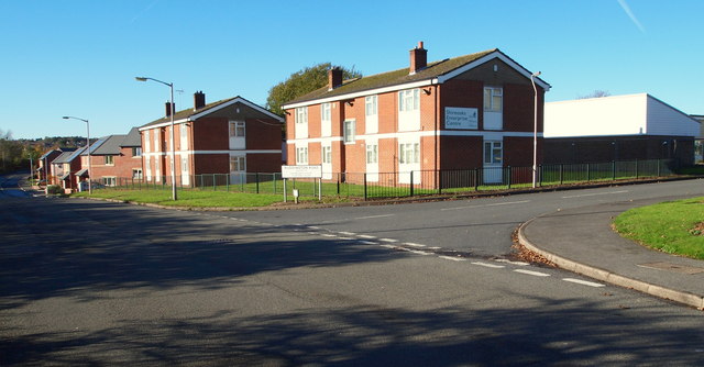
Bellamy Road, Mansfield, Notts.
Introduction
The photograph on this page of Bellamy Road, Mansfield, Notts. by David Hallam-Jones as part of the Geograph project.
The Geograph project started in 2005 with the aim of publishing, organising and preserving representative images for every square kilometre of Great Britain, Ireland and the Isle of Man.
There are currently over 7.5m images from over 14,400 individuals and you can help contribute to the project by visiting https://www.geograph.org.uk

Image: © David Hallam-Jones Taken: 10 Nov 2013
The Shireoaks Enterprise Centre is seen here backing onto Bellamy Road. (The centre and the flats face arable farm land). The road branching off it to the right is Ruddington Road. Sixteen supported-business starter units were created within two semi-derelict blocks of flats in late 2008/early 2009 at a cost of £400,000. This stretch of Bellamy Road - as far as the eye can see and extending 100 yds behind the photographer too - was created on top of the former Old Newark Road. As a result, this section of it has taken the name Bellamy Road, embracing the fact that it is now part of the Bellamy Road Estate. Behind the photographer Bellamy Road ends and what remains of the former Old Newark Road continues as an unmaintained track for a mile or so until it joins the A6191 (a.k.a. Southwell Rd East). In the distance Bellamy Road can be seen curving off to the right, whereas the Old Newark Road continues straight ahead in the direction of the A6117 Road (10 mins walk away) and the A60 - the main Mansfield-Nottingham - Road (30 minutes walk away).

