Development site, Fortwilliam, Belfast
Introduction
The photograph on this page of Development site, Fortwilliam, Belfast by Albert Bridge as part of the Geograph project.
The Geograph project started in 2005 with the aim of publishing, organising and preserving representative images for every square kilometre of Great Britain, Ireland and the Isle of Man.

There are currently over 7.5m images from over 14,400 individuals and you can help contribute to the project by visiting https://www.geograph.org.uk
Development site, Fortwilliam, Belfast
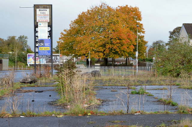
Image: © Albert Bridge Taken: 11 Nov 2013
A site, at 809-811 Shore Road, described by the agents as “A cleared corner site of c. 0.42 acres between the Shore Road and Strand Crescent; which previously sited a petrol filling station . . . . The site benefits from Full Planning granted in May 2009 for the development of 43no. two bed apartments, with a double basement car park below. The proposed scheme incorporates a ‘stepped’ high rise design, ranging from 7 to 4 storeys”. This photograph appears as a matter of record only. I have no connection with any of the parties involved in the sale.
Images are licensed for reuse under creativecommons.org/licenses/by-sa/2.0
Image Location
Latitude
54.640958
Longitude
-5.923053