General Roy monument, Hampton Hill.
Introduction
The photograph on this page of General Roy monument, Hampton Hill. by Stephen Williams as part of the Geograph project.
The Geograph project started in 2005 with the aim of publishing, organising and preserving representative images for every square kilometre of Great Britain, Ireland and the Isle of Man.

There are currently over 7.5m images from over 14,400 individuals and you can help contribute to the project by visiting https://www.geograph.org.uk
General Roy monument, Hampton Hill.
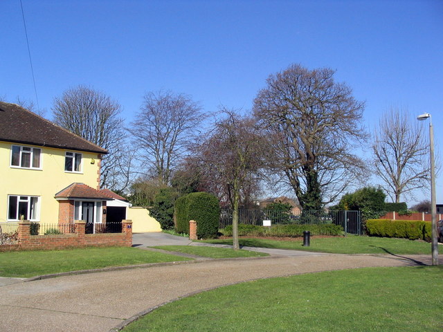
Image: © Stephen Williams Taken: 21 Mar 2007
The location is Roy Grove, a small cul-de-sac off Hanworth Road, Hampton named after Major General William Roy. Behind the railings can be glimpsed some of the buildings of the Lady Eleanor Holles school. The cannon set into the ground marks one end of the original Ordnance Survey baseline - I am also submitting a supplemental picture to this square which will carry full details of this monument.
Images are licensed for reuse under creativecommons.org/licenses/by-sa/2.0
Image Location
Latitude
51.426421
Longitude
-0.365273