Public footpath - no cycling
Introduction
The photograph on this page of Public footpath - no cycling by Anthony O'Neil as part of the Geograph project.
The Geograph project started in 2005 with the aim of publishing, organising and preserving representative images for every square kilometre of Great Britain, Ireland and the Isle of Man.

There are currently over 7.5m images from over 14,400 individuals and you can help contribute to the project by visiting https://www.geograph.org.uk
Public footpath - no cycling
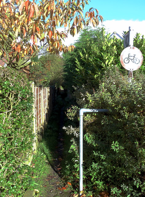
Image: © Anthony O'Neil Taken: 9 Nov 2013
Joins Ravenwood Drive to Winmarith Drive but is just part of an old right-of-way used by people walking from Brooks Drive, or Hale Road, to Chapel Lane, across intervening farmland. There were still crops of oats and barley here in the 1950s and considerable excitement amongst local children when the big combine harvesters were at work. Expansion of housing estates around Hale Barns, and the growth of Ringway airport, saw the end of large scale farming in the vicinity.
Images are licensed for reuse under creativecommons.org/licenses/by-sa/2.0
Image Location
Latitude
53.364804
Longitude
-2.307271