St Augustine's Catholic Church
Introduction
The photograph on this page of St Augustine's Catholic Church by David Dixon as part of the Geograph project.
The Geograph project started in 2005 with the aim of publishing, organising and preserving representative images for every square kilometre of Great Britain, Ireland and the Isle of Man.

There are currently over 7.5m images from over 14,400 individuals and you can help contribute to the project by visiting https://www.geograph.org.uk
St Augustine's Catholic Church
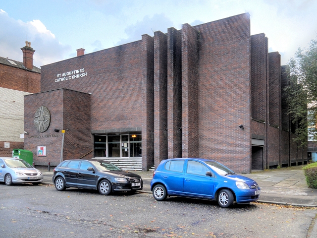
Image: © David Dixon Taken: 3 Nov 2013
The first St. Augustine’s Church was built in 1820 on Granby Row, near the present day Manchester Piccadilly Train Station. This first Church was sold and demolished in 1905 to make way for the Manchester Technical College which in turn became UMIST (University of Manchester Institute of Science and Technology) which merged with the Victoria University of Manchester to establish the University of Manchester in 2004. A second Church was built in 1908 on York Street where the Mancunian Way and the National Computer Centre now cross York Street. This Church, however, was destroyed during the Manchester Blitz of Christmas 1940. After the destruction of the second St. Augustine’s, the Holy Family Church on the present Grosvenor Square site became the parish church. The Holy Family Church,which had previously been a chapel for a Welsh Methodist congregation and later served as the place of worship for the newly founded St. Bede’s College, was demolished in 1966 and the present Church of St Augustine of Canterbury was built on the same site using money from the government's War Damage Commission. http://manchesterhistory.net/manchester/tours/tour9/area9page11.html Manchester History Net
Images are licensed for reuse under creativecommons.org/licenses/by-sa/2.0
Image Location


Leaflet Map data © OpenStreetMap
Latitude
53.470035
Longitude
-2.239487