Lane to Haye
Introduction
The photograph on this page of Lane to Haye by Derek Harper as part of the Geograph project.
The Geograph project started in 2005 with the aim of publishing, organising and preserving representative images for every square kilometre of Great Britain, Ireland and the Isle of Man.

There are currently over 7.5m images from over 14,400 individuals and you can help contribute to the project by visiting https://www.geograph.org.uk
Lane to Haye
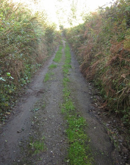
Image: © Derek Harper Taken: 4 Nov 2013
A lane that seems to have been abandoned by the highway authority, though it still appears in yellow on the 1:25000 and 1:50000 maps.
Images are licensed for reuse under creativecommons.org/licenses/by-sa/2.0
Image Location
Latitude
50.449064
Longitude
-4.365868