Muddy gateway near Trehunist
Introduction
The photograph on this page of Muddy gateway near Trehunist by Derek Harper as part of the Geograph project.
The Geograph project started in 2005 with the aim of publishing, organising and preserving representative images for every square kilometre of Great Britain, Ireland and the Isle of Man.

There are currently over 7.5m images from over 14,400 individuals and you can help contribute to the project by visiting https://www.geograph.org.uk
Muddy gateway near Trehunist
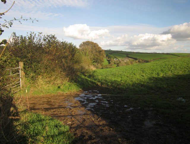
Image: © Derek Harper Taken: 4 Nov 2013
On the other side of the lane shown in Image] from Image The Hay Lake valley, and the farm at Haye (in Image) are in the background.
Images are licensed for reuse under creativecommons.org/licenses/by-sa/2.0
Image Location
Latitude
50.44794
Longitude
-4.368066