On Burgh Heath
Introduction
The photograph on this page of On Burgh Heath by Marathon as part of the Geograph project.
The Geograph project started in 2005 with the aim of publishing, organising and preserving representative images for every square kilometre of Great Britain, Ireland and the Isle of Man.

There are currently over 7.5m images from over 14,400 individuals and you can help contribute to the project by visiting https://www.geograph.org.uk
On Burgh Heath
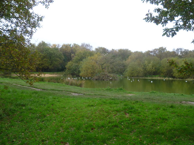
Image: © Marathon Taken: 7 Nov 2013
This view is close to The Green and not far from Brighton Road (A217) near the junction with Reigate Road (A240). To the west and south beyond the pond is the woodland of Burgh Heath.
Images are licensed for reuse under creativecommons.org/licenses/by-sa/2.0
Image Location
Latitude
51.304997
Longitude
-0.221536