Slip road linking Divis Street with the south-bound carriageway of the Westlink
Introduction
The photograph on this page of Slip road linking Divis Street with the south-bound carriageway of the Westlink by Eric Jones as part of the Geograph project.
The Geograph project started in 2005 with the aim of publishing, organising and preserving representative images for every square kilometre of Great Britain, Ireland and the Isle of Man.

There are currently over 7.5m images from over 14,400 individuals and you can help contribute to the project by visiting https://www.geograph.org.uk
Slip road linking Divis Street with the south-bound carriageway of the Westlink
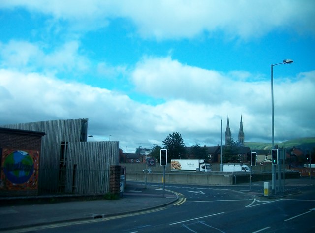
Image: © Eric Jones Taken: 9 Aug 2011
The spires of St Peter's Cathedral can be seen in the background.
Images are licensed for reuse under creativecommons.org/licenses/by-sa/2.0
Image Location
Latitude
54.599547
Longitude
-5.9394