Grahame Park Way from the roundabout
Introduction
The photograph on this page of Grahame Park Way from the roundabout by David Howard as part of the Geograph project.
The Geograph project started in 2005 with the aim of publishing, organising and preserving representative images for every square kilometre of Great Britain, Ireland and the Isle of Man.

There are currently over 7.5m images from over 14,400 individuals and you can help contribute to the project by visiting https://www.geograph.org.uk
Grahame Park Way from the roundabout
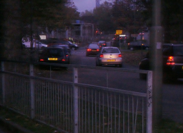
Image: © David Howard Taken: 7 Nov 2013
Grahame Park was built on the derelict Hendon Aerodrome in the 70s, and provided a new road linking Colindale and Mill Hill.
Images are licensed for reuse under creativecommons.org/licenses/by-sa/2.0
Image Location
Latitude
51.596555
Longitude
-0.246844