West Lane
Introduction
The photograph on this page of West Lane by Derek Harper as part of the Geograph project.
The Geograph project started in 2005 with the aim of publishing, organising and preserving representative images for every square kilometre of Great Britain, Ireland and the Isle of Man.

There are currently over 7.5m images from over 14,400 individuals and you can help contribute to the project by visiting https://www.geograph.org.uk
West Lane
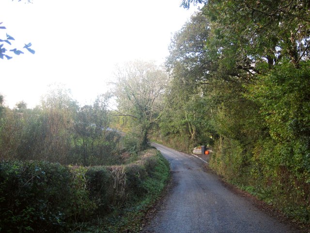
Image: © Derek Harper Taken: 4 Nov 2013
The road between Landrake and Lantallack descends to cross Hay Lake, one of two tributaries of the Tiddy named Hay Lake, according to the maps.
Images are licensed for reuse under creativecommons.org/licenses/by-sa/2.0
Image Location
Latitude
50.422718
Longitude
-4.307253