Lliedi Estuary
Introduction
The photograph on this page of Lliedi Estuary by Hywel Williams as part of the Geograph project.
The Geograph project started in 2005 with the aim of publishing, organising and preserving representative images for every square kilometre of Great Britain, Ireland and the Isle of Man.

There are currently over 7.5m images from over 14,400 individuals and you can help contribute to the project by visiting https://www.geograph.org.uk
Lliedi Estuary
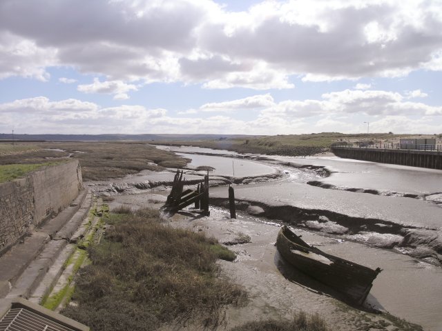
Image: © Hywel Williams Taken: 21 Mar 2007
Large goods ships once used to sailed up this channel to Llanelli's North Dock, however very few boats let alone ships sail here today.
Images are licensed for reuse under creativecommons.org/licenses/by-sa/2.0
Image Location
Latitude
51.672722
Longitude
-4.172096