Ministry of Defence lake from the Saxon Shore Way
Introduction
The photograph on this page of Ministry of Defence lake from the Saxon Shore Way by Marathon as part of the Geograph project.
The Geograph project started in 2005 with the aim of publishing, organising and preserving representative images for every square kilometre of Great Britain, Ireland and the Isle of Man.

There are currently over 7.5m images from over 14,400 individuals and you can help contribute to the project by visiting https://www.geograph.org.uk
Ministry of Defence lake from the Saxon Shore Way
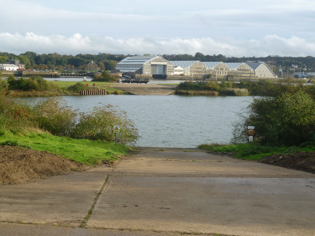
Image: © Marathon Taken: 1 Nov 2013
This view is looking through the fence of Ministry of Defence land between the Saxon Shore Way and the River Medway. On this side of the Medway is a lake, and the sheds of The Historic Dockyard, Chatham can be seen beyond the Medway. On the extreme right is 3 Slip - see http://www.geograph.org.uk/photo/2521803
Images are licensed for reuse under creativecommons.org/licenses/by-sa/2.0
Image Location
Latitude
51.401848
Longitude
0.523094