Redevelopment of Altrincham
Introduction
The photograph on this page of Redevelopment of Altrincham by Anthony O'Neil as part of the Geograph project.
The Geograph project started in 2005 with the aim of publishing, organising and preserving representative images for every square kilometre of Great Britain, Ireland and the Isle of Man.

There are currently over 7.5m images from over 14,400 individuals and you can help contribute to the project by visiting https://www.geograph.org.uk
Redevelopment of Altrincham
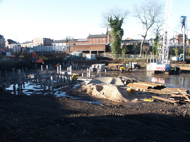
Image: © Anthony O'Neil Taken: 5 Dec 2002
This huge building site, to the east of Railway Street, will see the erection of shops, apartments and a fitness centre. (All now completed.) The trees and shrubbery, still visible behind the line of shops, are the only remaining traces of a hotel garden which was here in the 19th century. Future plans for the area include a new hospital.
Images are licensed for reuse under creativecommons.org/licenses/by-sa/2.0
Image Location
Latitude
53.384819
Longitude
-2.350564