Conservation area
Introduction
The photograph on this page of Conservation area by Marilyn Peddle as part of the Geograph project.
The Geograph project started in 2005 with the aim of publishing, organising and preserving representative images for every square kilometre of Great Britain, Ireland and the Isle of Man.

There are currently over 7.5m images from over 14,400 individuals and you can help contribute to the project by visiting https://www.geograph.org.uk
Conservation area
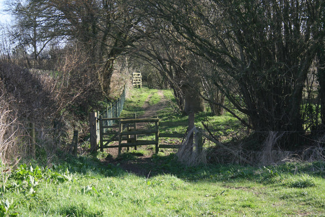
Image: © Marilyn Peddle Taken: 17 Mar 2007
Rough field, spinney at the bottom of Greenway lane under DEFRA's Countryside Stewardship Scheme. Preservation of the wildlife and farming of the area without chemicals is a priority. The path running through it is labelled as a permissive path which runs until the year 2011
Images are licensed for reuse under creativecommons.org/licenses/by-sa/2.0
Image Location
Latitude
50.91188
Longitude
-2.249151